Services
All services
Take a look at what we do
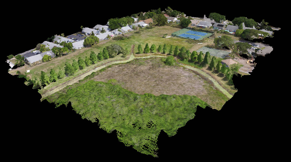
3D Imaging
3D imaging is used to create a virtual model of a property. These models can be used for a variety of purposes, such as marketing, planning, and training.
Cell Tower Inspections
Cell tower inspections are used to identify potential problems with cell towers. These inspections include a thorough visual inspection of the towers, as well as a drone inspection to get a closer look at hard-to-reach areas.
Learn More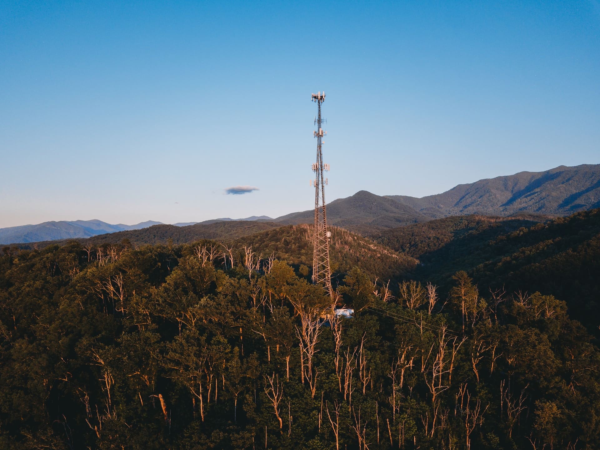
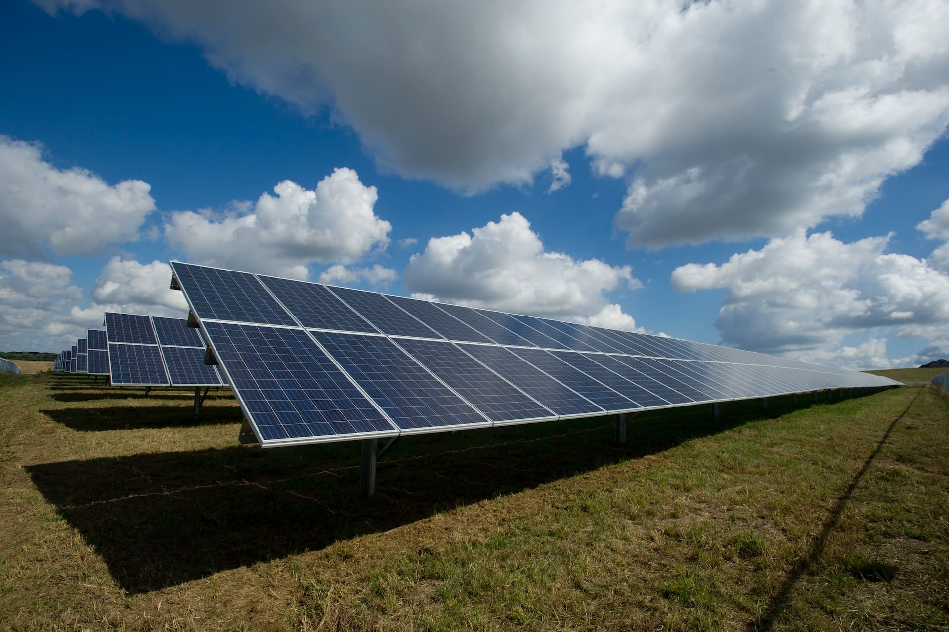
Solar Farm Inspections
Solar farm inspections using drones have proven to be highly useful and efficient in recent years. Drones equipped with cameras and thermal imaging technology can perform detailed inspections of solar panels and related infrastructure.
Powerline Inspection
Powerline inspections are used to identify potential problems with power lines. These inspections include a thorough visual inspection of the lines, as well as a drone inspection to get a closer look at hard-to-reach areas.
Learn More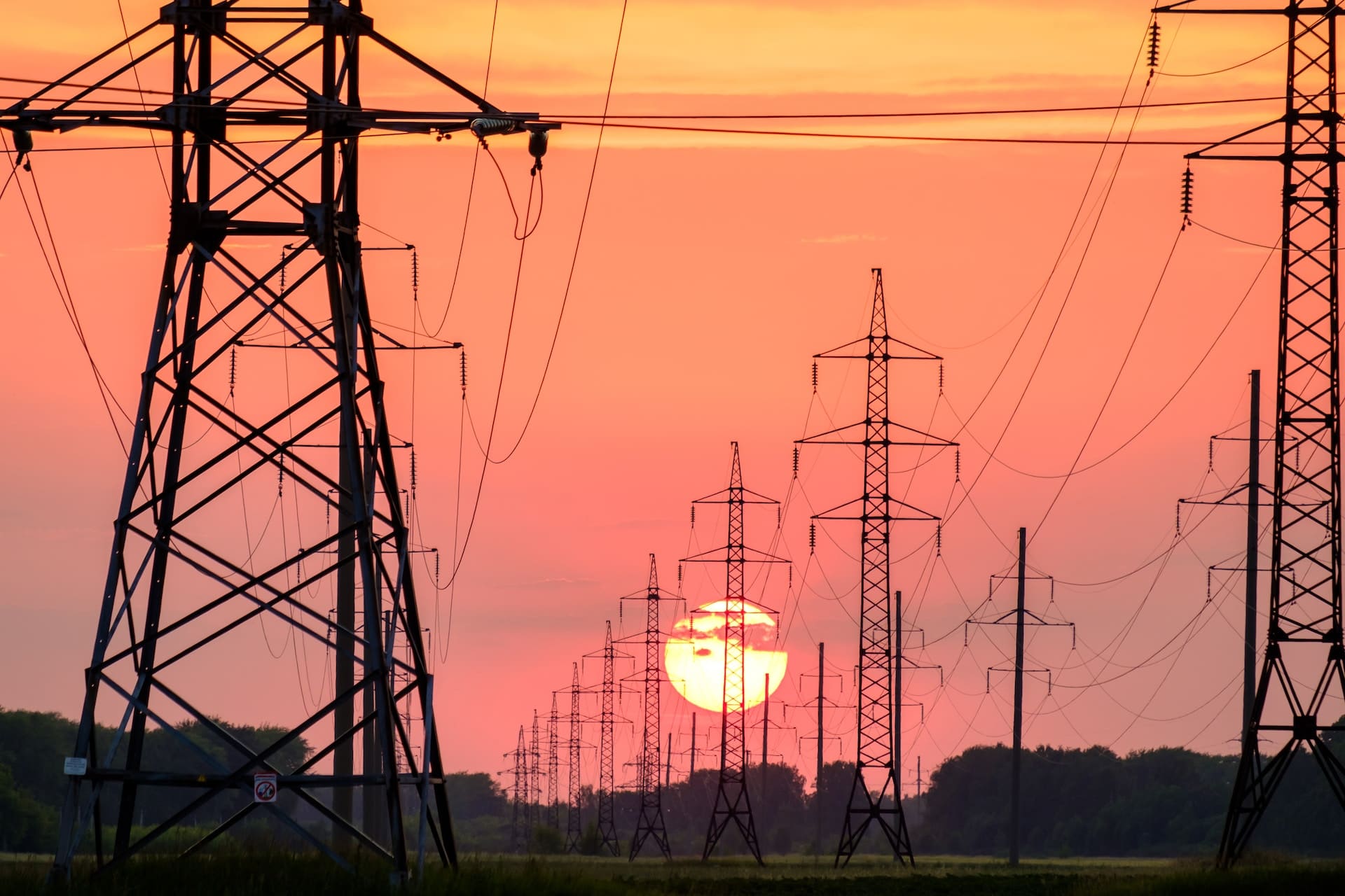
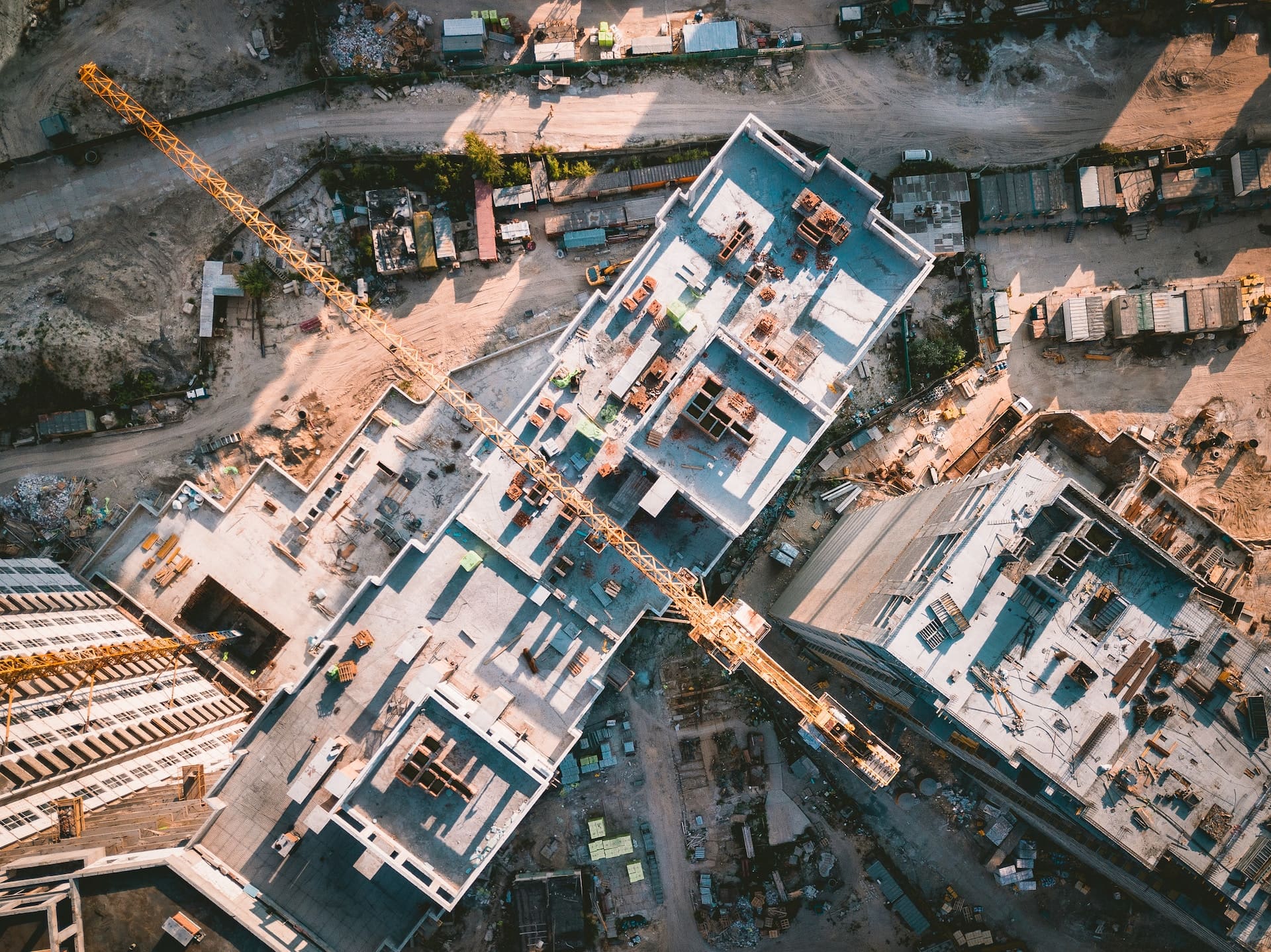
Construction Site Modeling
Construction site modeling is used to visualize construction projects before they're even built. These models are created using drone footage and 3D laser scanning, and they can be used to plan construction, track progress, and communicate with clients.
Learn More
Golf Course Analysis
Our drone services optimize golf course design, maintenance, and player experience. Aerial surveys capture high-resolution imagery. Vegetation health assessment aids maintenance. 3D models aid in design. Thermal imagery improves irrigation. Aerial visuals support marketing.
Learn More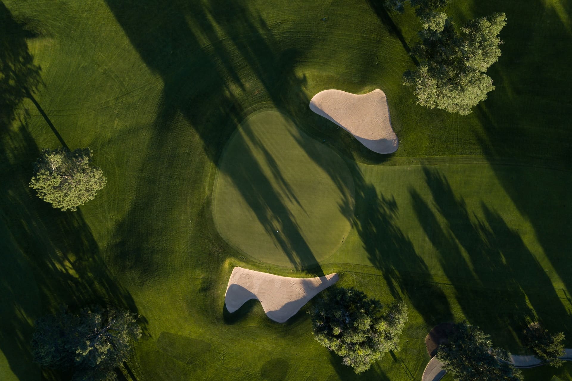
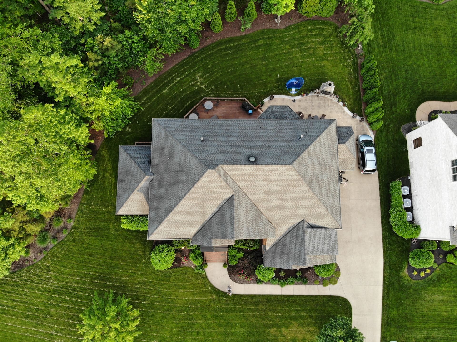
Roof Inspections
Roof inspections are used to identify potential problems with roofs before they cause major damage. These inspections include a thorough visual inspection of the roof, as well as a drone inspection to get a closer look at hard-to-reach areas.
Learn More
Aerial Photography
Aerial photography is the process of taking photographs from an elevated position, such as an airplane or a drone. This type of photography can be used for a variety of purposes, including real estate, construction, and agriculture.
Learn More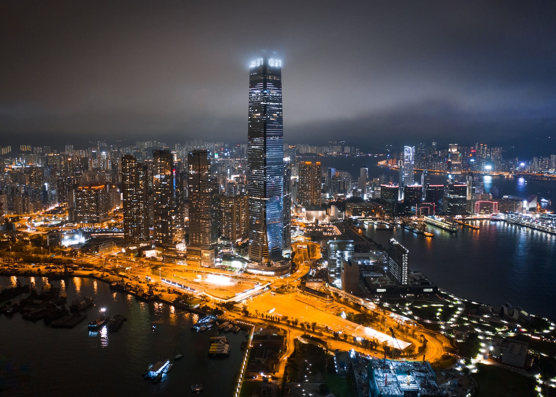
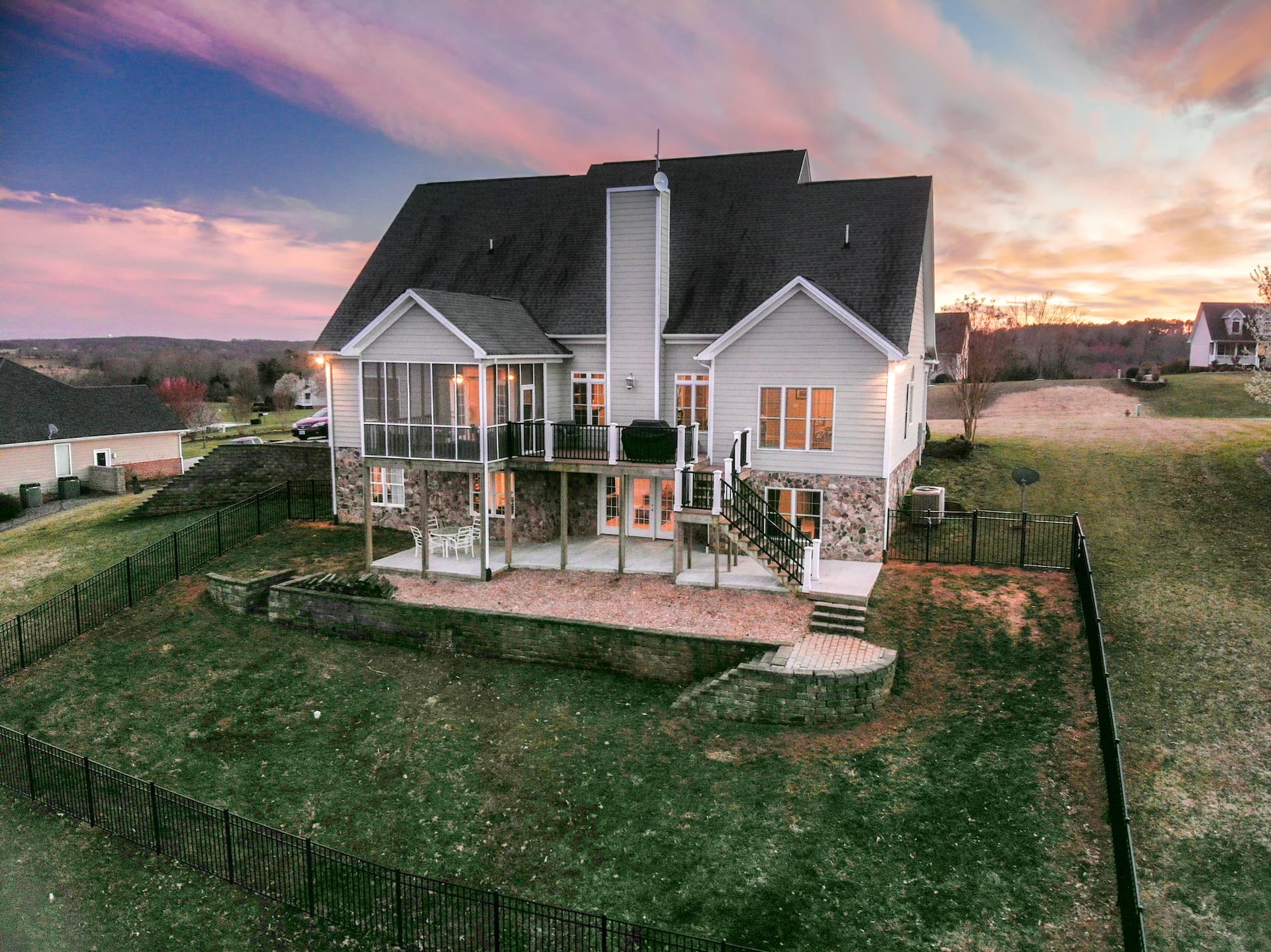
Real Estate 360 Virtual Tours
Real estate 360 virtual tours are a great way for potential buyers to explore properties from the comfort of their own homes. These tours allow users to view properties in 360 degrees, which gives them a better sense of the layout and size of the property.
Learn More
Accident Scene Data Reports
Accident scene data reports are used to reconstruct accidents and determine the cause. These reports include detailed information about the scene, such as photographs, measurements, and witness statements.
Learn More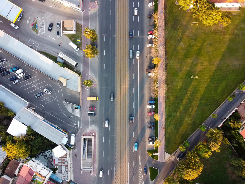
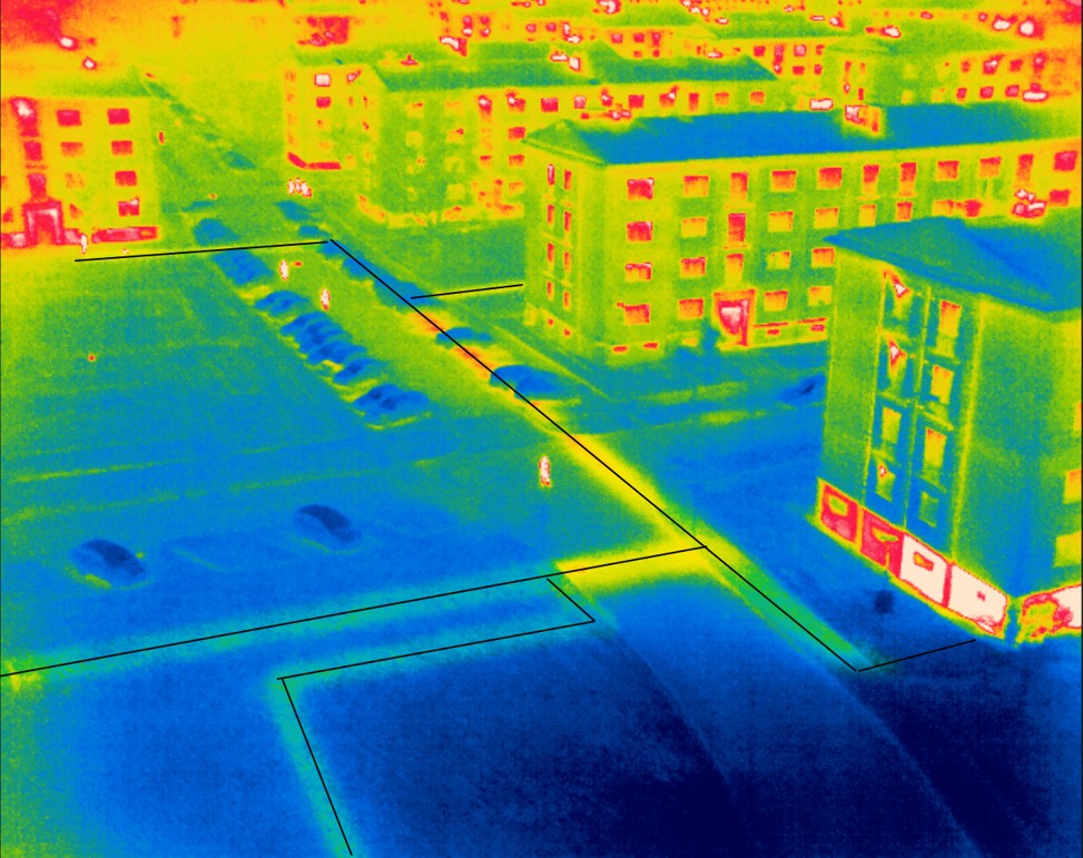
Thermal Imaging
Thermal imaging is used to identify heat loss and energy inefficiencies in homes and businesses. These images can be used to identify problem areas, so that repairs can be made and energy costs can be saved.
Learn More
Mining Surveys
Mining surveys are used to map out mines and identify potential hazards. These surveys include a thorough visual inspection of the mine, as well as a drone inspection to get a closer look at hard-to-reach areas.
Learn More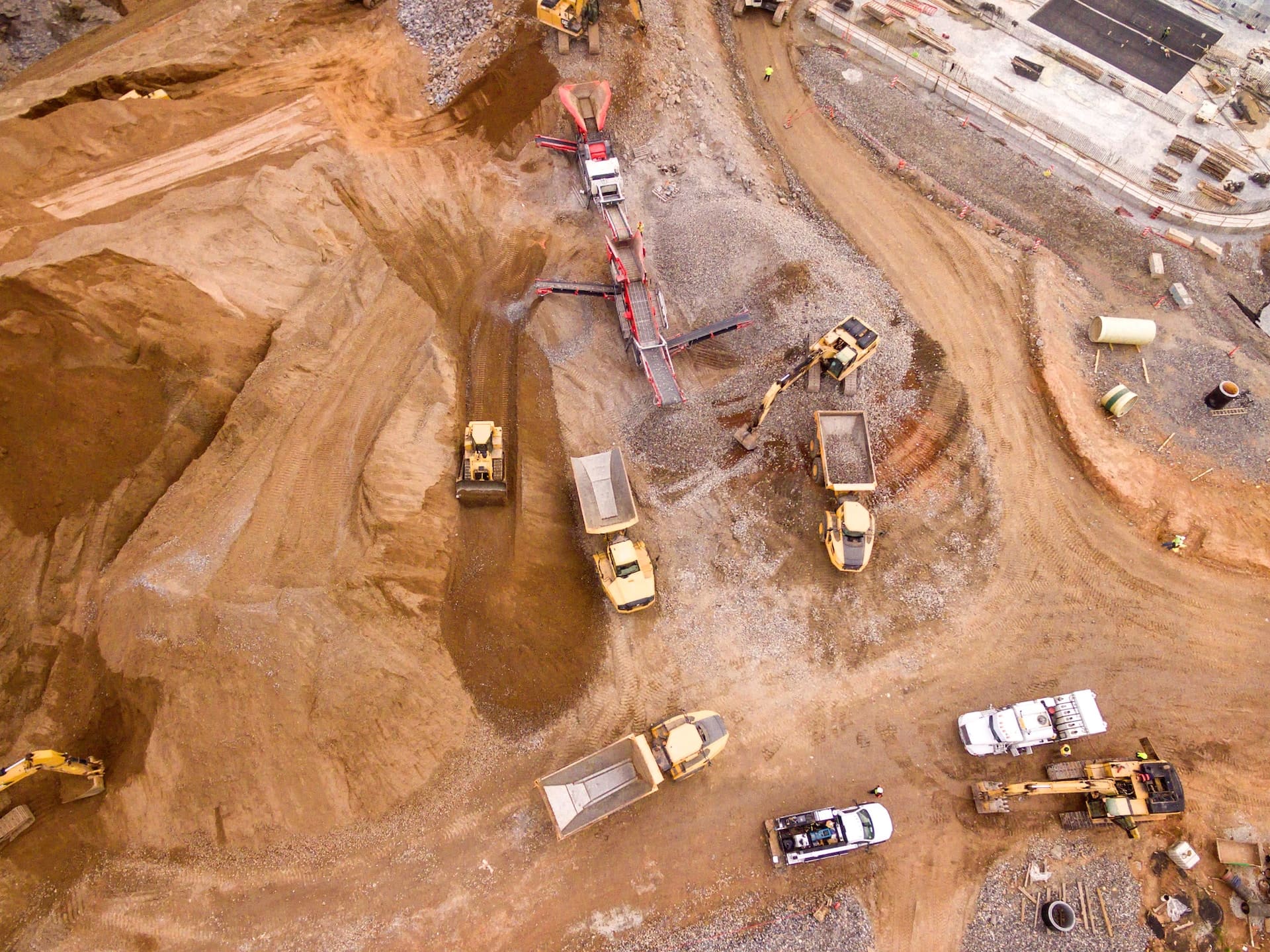
Follow us
©Copyright 2023 Florida Drone Pros. All Rights Reserved