Golf Course Analysis
Golf Course Analysis
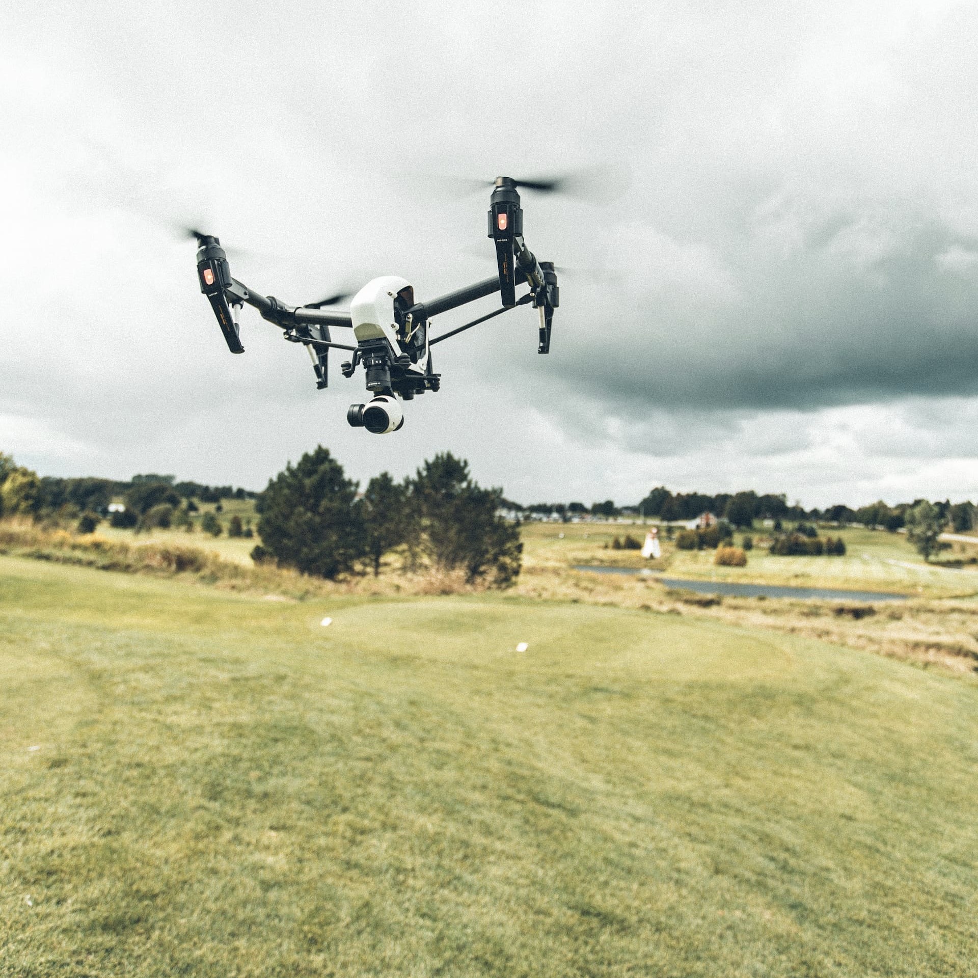
Our drone services optimize golf course design, maintenance, and player experience. Aerial surveys capture high-resolution imagery. Vegetation health assessment aids maintenance. 3D models aid in design. Thermal imagery improves irrigation. Aerial visuals support marketing.
Golf Course Analysis can be used to:
Optimizing Course Layout and Features
Our drone services provide valuable insights for golf course layout and features. Aerial surveys aid design decisions, ensuring optimal placement of hazards, fairways, and greens.
Efficient Irrigation and Water Conservation
Our drones analyze irrigation efficiency. Thermal imagery detects over- or under-watered areas, enabling adjustments for water conservation and consistent playing conditions.
Captivating Aerial Visuals for Promotion
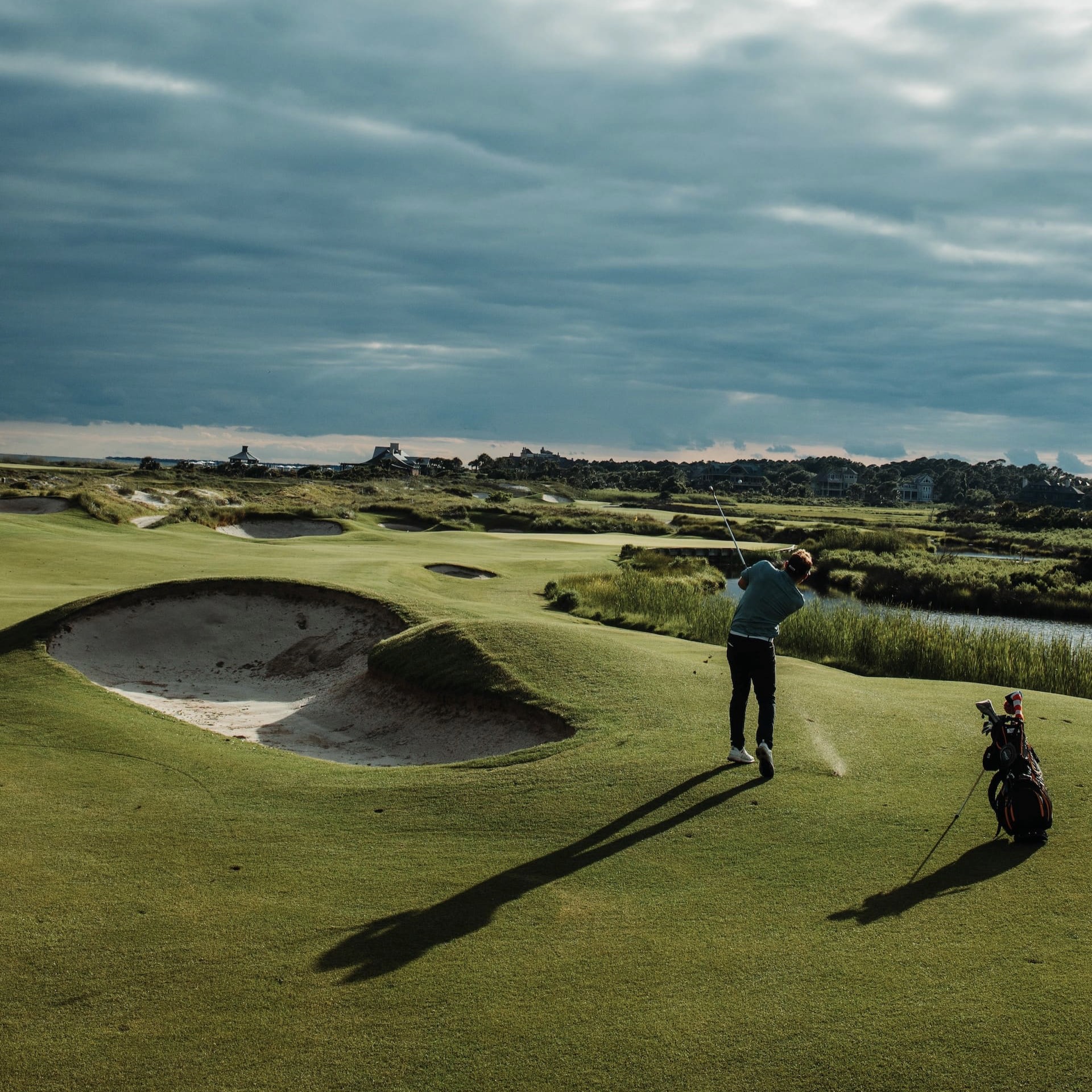
Our drones capture stunning imagery and videos showcasing the course's beauty, attracting golfers, event organizers, and sponsors for an immersive experience and increased interest.
Additional Information
Our drone services offer comprehensive solutions for golf course analysis, assisting golf course owners, managers, and designers in optimizing course layout, maintenance, and player experience. By leveraging advanced aerial technology and data analysis techniques, we provide valuable insights into various aspects of golf course management.
Aerial surveys conducted by our drones capture high-resolution imagery of the entire golf course, including fairways, greens, hazards, and surrounding landscapes. This aerial perspective offers a comprehensive view of the course's layout, topography, and features. With this data, golf course owners and designers can assess the overall design and make informed decisions regarding course modifications, enhancements, or new construction.
One of the key applications of our drone services in golf course analysis is vegetation health assessment. By utilizing multispectral cameras, we can capture data that reveals the health and vigor of turfgrass, helping identify areas that may require additional maintenance or intervention. This information assists golf course superintendents in optimizing irrigation, fertilization, and pest management practices, ultimately leading to healthier and more aesthetically pleasing playing surfaces.
Our drones also play a crucial role in mapping and measuring the course's features and structures. By generating detailed 3D models and elevation maps, we can accurately determine the slope, undulations, and elevations of the fairways, greens, and bunkers. This information aids in course design and renovation efforts, ensuring the optimal placement of hazards, fairway contours, and green complexes.
Additionally, our drone services support golf course maintenance and management through detailed analysis of irrigation efficiency. By capturing thermal imagery, we can identify areas of the course that may be experiencing over- or under-watering. This data allows golf course managers to adjust irrigation schedules, improve water conservation efforts, and maintain consistent playing conditions.
Furthermore, our drones provide valuable data for golf course marketing and promotional materials. With stunning aerial imagery and videos showcasing the course's beauty and unique features, golf course owners can attract golfers, event organizers, and sponsors. These visuals create a captivating and immersive experience, enticing golf enthusiasts to visit and play on the course.
In summary, our drone services for golf course analysis offer a comprehensive approach to optimize course design, maintenance, and player experience. From aerial surveys and vegetation health assessment to mapping and irrigation analysis, our advanced aerial technology and data analysis capabilities provide golf course owners and managers with valuable insights and solutions. By leveraging these services, golf courses can enhance their appeal, optimize playing conditions, and deliver exceptional experiences for golfers of all skill levels.
Follow us
©Copyright 2023 Florida Drone Pros. All Rights Reserved